Untamed Iceland
with Overseas Adventure Travel
June 10 – 21, 2022
Selfoss, Borgarnes, Hvammstangi, Akureyr and Reykjavik, Iceland
I booked the 14 day “Untamed Iceland” adventure with Overseas Adventure Travel. This is another of many, many times I traveled with this company. In my first trip out after Jim’s passing I met a great new friend and travel buddy (Nancy) & this is our 13th trip together. We had a delightful group of 12 travelers in Iceland. So…it’s time for another adventure, here we go again!

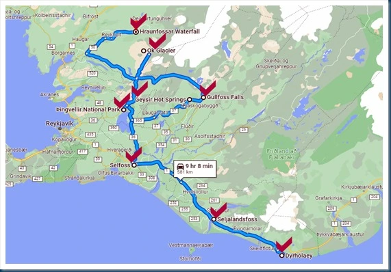
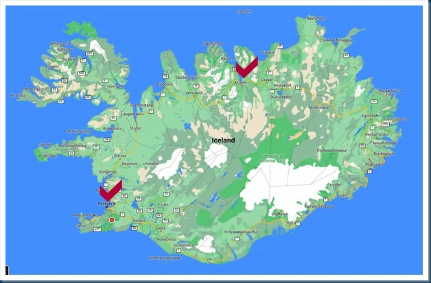
I am including a google map that I prepared. This map shows the destinations of our trip, with the red check marks indicating where we stayed at hotels and the number of nights at that area. Our adventure began with 2 nights in Selfoss, Iceland. From there we spent 2 nights in Borgarnes, 1 night in Hvammstangi, and 3 nights in Akurekyri. Then we flew to Reykjavik and spent our final 3 nights there.

Margret was our awesome Tour Experience Leader. She is a fun-loving, experienced, knowledgeable, and extremely organized person. She was always so kind and helpful and loved being sure everyone was having a wonderful time. She absolutely “made” this trip. Thank you Margret for being you!

 Save Money
 : If you decide you’d like to go on this or any Overseas Adventure or Grand Circle Travel trip, and you are a first time traveler with them, they will give you each $100 off any trip. All you have to do is mention the name of my travel blog and my name, Marilyn. New travelers instantly receive $100 off the cost of the trip, and I will receive $100 when you depart on your trip.
S.W. Iceland Map: This is a map of the area in southwestern Iceland showing all the locations of the beautiful sites that we saw that are described below.
Selfoss, Iceland: Selfoss is a town of about 8,000 located in southern Iceland on the banks of the Olfusa river. This is the river looking out my hotel window. It’s a nice destination town which is located near many popular scenic sites. Something I did notice in Iceland is the fact that it takes quite a while to get anywhere because of the narrow little highways. However, I hope it stays just that way because you have time to see the beautiful scenery along the way.


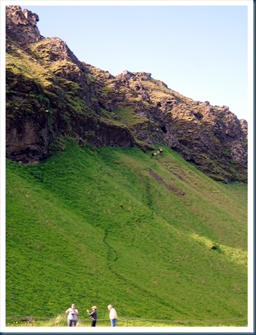
Seljalandsfoss Waterfall: It’s situated on the south coast of Iceland along the Ring Road. Melting glacier water pours over a rocky cliff with a fall of about 200 feet. You could also walk behind the waterfall. And, there were mountain goats gazing near the waterfall.


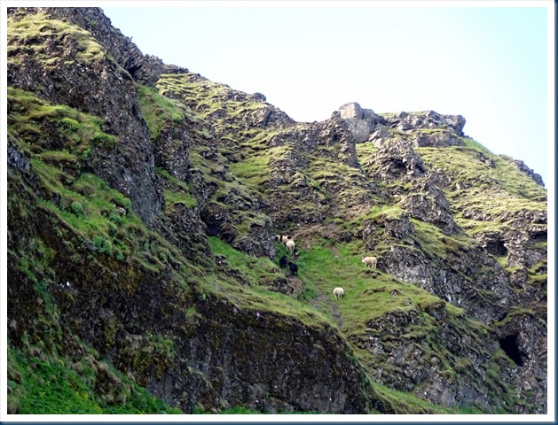
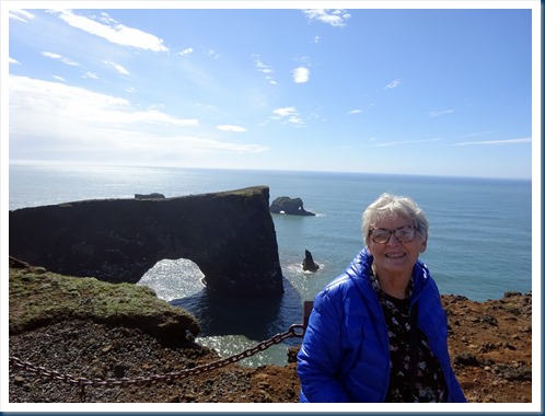
Dyrholaey & Black-Sand Beach: "the hill island with the door hole" is located near the village of Vik. In front of the peninsula, there is a gigantic black arch of lava standing in the sea. The black sand is naturally created due to volcanic activity in the area. While above the beach we saw Atlantic puffins nesting on the cliffs.


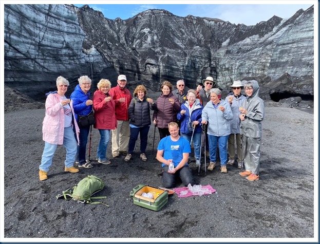
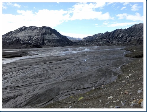
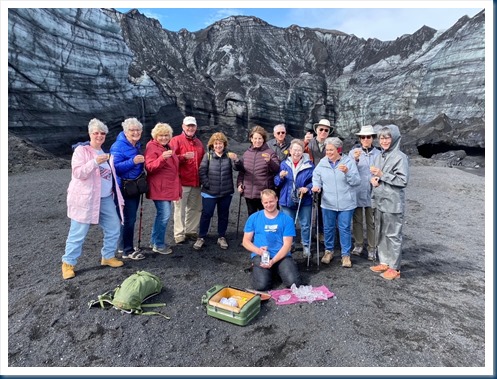
Okjokull Glacier: This glacier used to be 1,800 miles of ice. It was the first glacier in Iceland to lose its status in 2014. Since then 56 more glaciers have vanished in northern Iceland, melting into crater lakes. The Okjokull glacier was officially declared dead in 2014 when it was no longer thick enough to move. What once was glacier has been reduced to a small patch of ice atop a volcano. (The glacier is the mountains of gray color, photo #4 you can see some of the ice through the gray.) Our local guide chopped some ice from the glacier for our celebratory drink.




Gullfoss Waterfall: As part of the Golden Circle tour, Gullfoss was our first stop. It is located in the canyon of the Hvítá river in southwest Iceland. It features two tiers of rushing water that flow into a hundred foot deep crevice.
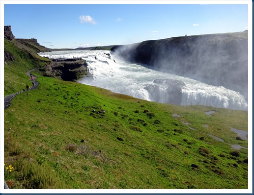
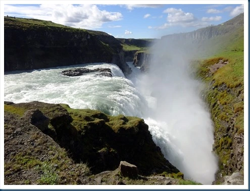
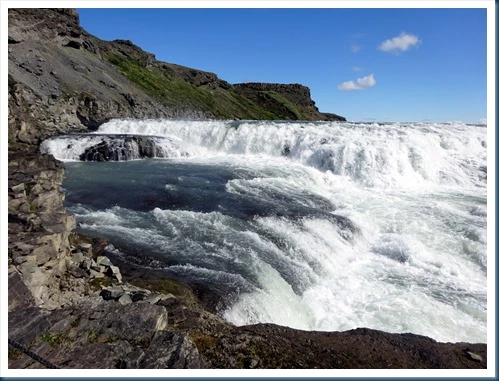

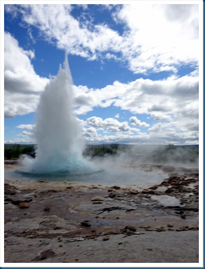
Geysir Hot Spring Area: Our next stop along the Golden Circle was the highly active Geysir Hot Spring Area with boiling mud pits, and exploding geysers. The area became active more than 1,000 years ago and consists of more than a dozen hot water blow holes. Strokkur geyser spouts water about 100 feet into the air every few minutes.
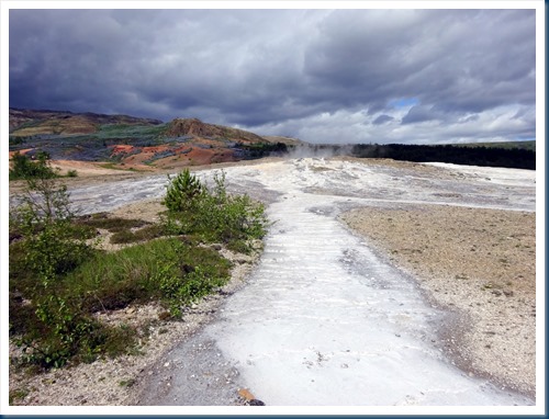


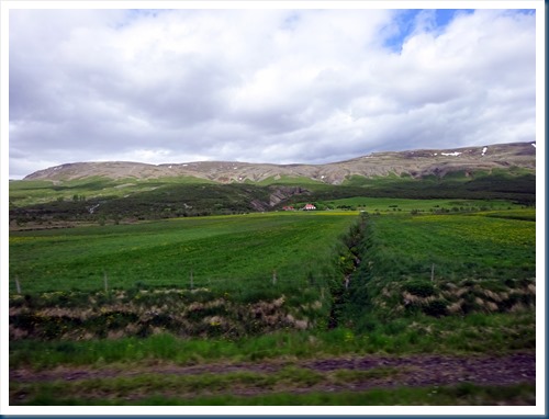
Out the bus window as we traveled along the Golden Circle. The purple flowers are considered weeds. I considered them very pretty.


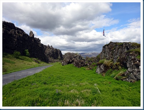
Thingvellir National Park: This is where you walk between two continents. The park sits in a major rift between two tectonic plates—the Eurasian and North American. The rift creates a valley in the land, ringed by rocky cliffs and fault lines. It is also a historic site known as the site of Iceland’s parliament from the 10th to 18th centuries. This was our last stop on the Golden Circle.


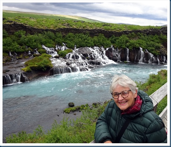
Hraunfossar Waterfalls: This series of waterfalls comes from rivulets streaming over a distance of about 300 feet. This mystical lava field flowed from an eruption of a volcano lying under a glacier over a thousand years ago. The was a very nice walking path that took you to various parts of the waterfall.


Daeli Guesthouse: We transferred from Borgarnes in southwest Iceland to a country Guesthouse near Hvammstangi in northwest Iceland. This was my favorite accommodation in Iceland. It was completely in the countryside a long way from anywhere. At our Guesthouse we watched a horseshow with Icelandic horses.


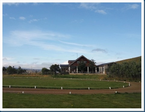


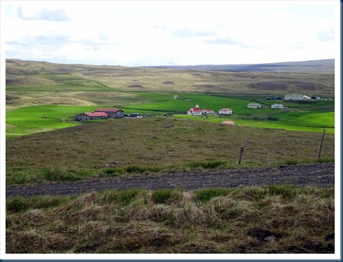
While at the Guesthouse we hiked up the hill behind and planted trees, and (hehe), then back down. We ate, visited, played games and generally had fun.


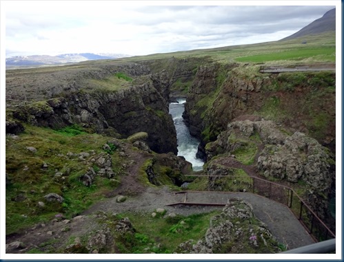
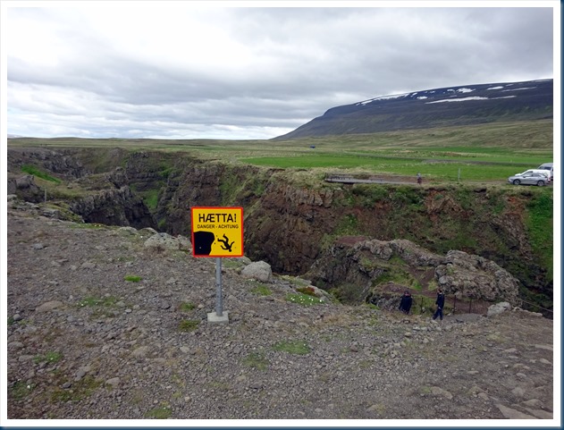
Kolugljufux Waterfall: Oh look another waterfall! This was located just a few miles from our Guesthouse, in a canyon that was complete with a spectacular waterfall.


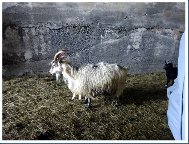
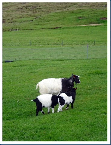
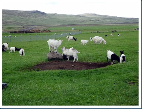
Sheep of the area: The Icelandic is the Icelandic breed of domestic sheep. It is thought that they were introduced to Iceland by Vikings in the late ninth or early tenth century. There were thousands all over the hills and mountains of Iceland.

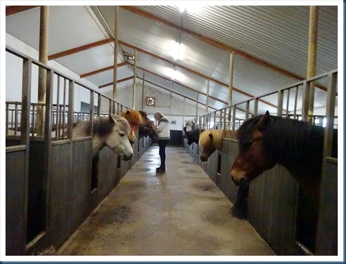
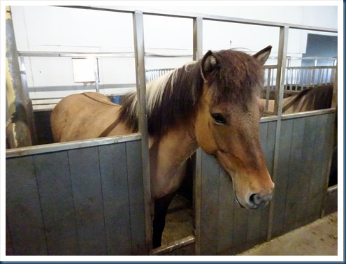
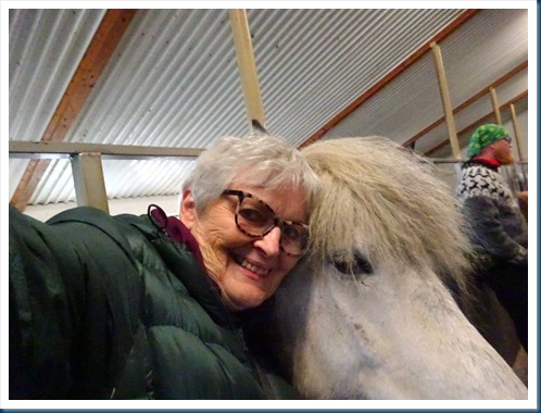
Icelandic Horse Farm: We visited a nice horse farm located a couple miles from our Guesthouse. The horses of Iceland are the original Viking horses and one of the purest horse breeds in the world. The breed has been isolated on the rugged island since the settlement over 1000 years ago, without any genetic input from other breeds. They tend to be small in size, and are known to be hardy and long-lived and survive in this harsh climate. The government aims to maintain their good health by outlawing the import and export of the horses.

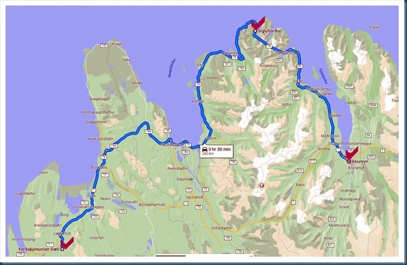
Hvammstangi to Akureyi: We transferred from to our northernmost location on our tour of Iceland. We were approaching summer solstice and each day was longer daylight than the day before. I took pictures along the way to Siguifjorour, which was our first stop. The landscape was just beautiful!


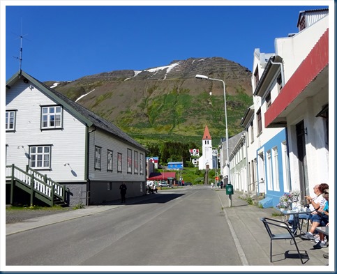
Siglufjordur: It is a small fishing town of about 1,200 nested in a narrow fjord with the same name on the northern coast of Iceland. To me this town looks like a town I envision in Iceland, and it was so pleasant to be there. The town has been shrinking in size since the 1950s when the town reached its peak of 3,000 inhabitants.
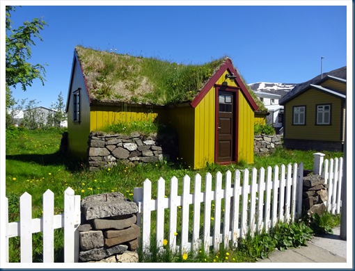
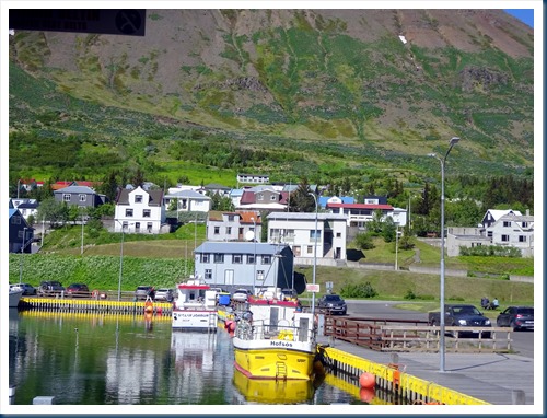

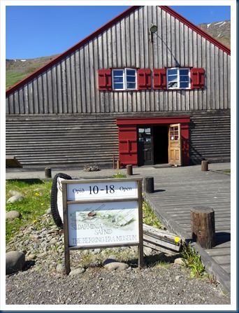
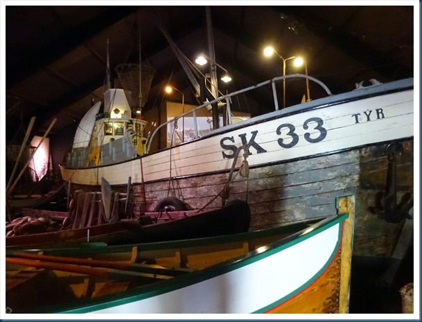
Herring Era Museum, Siglujordur: We had an interesting visit to this museum which is the largest maritime museum in Iceland. We learned all about fishing and processing of herring. The town grew up around the herring industry that was very strong in the 1940s and 1950s. In 1969 the herring failed to appear due to over-exploiting, and the herring processing plants were closed. Today herring fishing is no longer productive in the region.


We stayed in Akureyri three nights (located in the center) and visited the various sites identified with red arrows.

Akureyri: Located in northern Iceland and situated on the northern fjords near the Arctic Circle. The area around Akureyi has one of the warmest climates in Iceland, even though it’s only 62 miles from the Artic Circle. It is the 2nd largest urban city with a population of approximately 18,000.


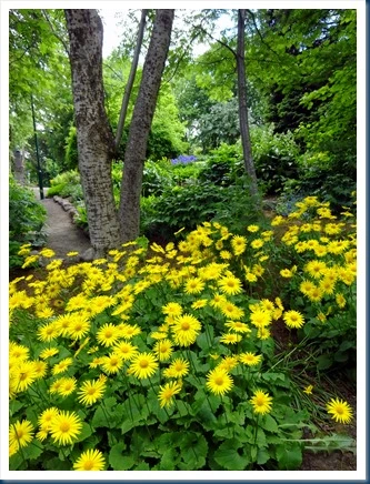
Godafoss Waterfall: The current carries rushing water along a glacial river and over the rocks, falling 40 feet into the pool below.


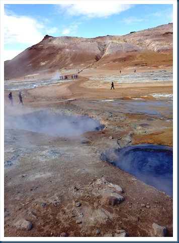
Namafiall Hot Mud Pools: Here in this geothermal area we saw a series of fumaroles, mud pots and pools that range in color and are ever-changing. We could walk right down among them.
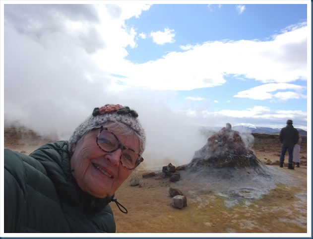


Dimmuborgir Black Castles: These “black castles” are lava formations that were formed in an eruption that occurred in the area around 2,300 years ago. As lava flowed across the area, it passed over a lake, causing it to boil. This both quickened the cooling of the lava and caused pillars of steam to shatter parts of it. What I vividly remember about the area were the “midges” by the thousands, which are relentless flying bugs that bite and annoy!

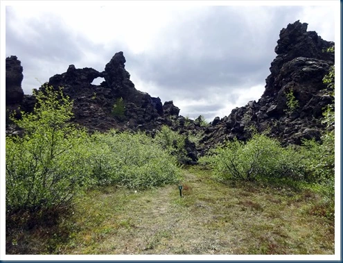
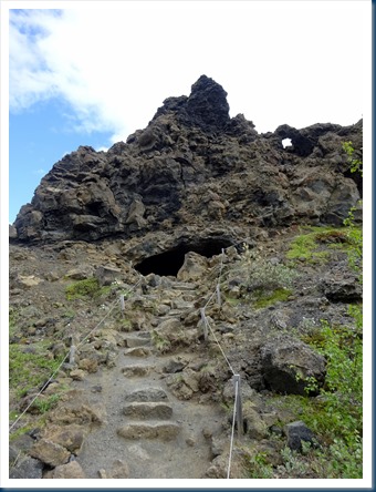

Skutustadin Pseudo-crater Field: Pseudo-craters are formed by steam explosions when burning lava encounters lakes or wet lands.

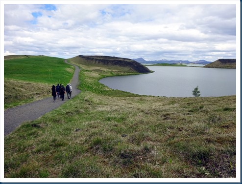
Lake Myvatn: It is a volcanic lake in northern Iceland with an area of about 9,000 acres. It is Iceland’s fourth-largest body of water.


Summer Soltice: It occurs on June 21 when one of Earth’s poles has its maximum tilt toward the Sun. We were way North in the Northern hemisphere and there was continuous daylight time while we were in Iceland. These two photos were taken about 3 in the morning out my hotel window on Akureyri on June 17 and Reykjavik on June 21.


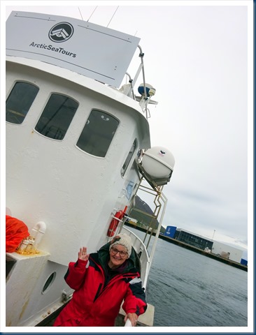
Dalvik Iceland Whale Watching Excursion: We went on a three hour search for humpback whales in the longest glacier fjord in Iceland. We actually got to watch two whales and I got a couple mighty poor photos of the whales. Yes, that is our group in the red coveralls. It was a bit cold and also a bit rainy by times.


We flew from Akureyri in the north to Reykjavik in the southwest for the last 3 days of our adventure in Iceland.
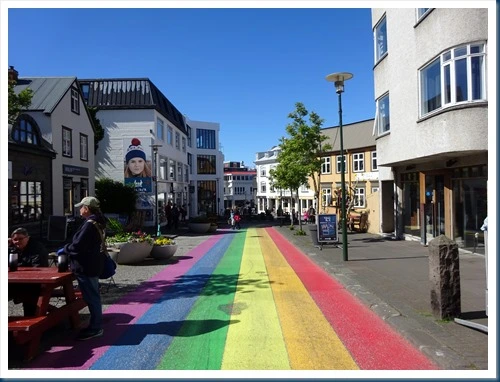
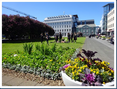
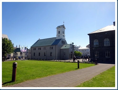
Reykkjavik: It is the northernmost capital in the world, and the largest municipality in Iceland and the capital city of the country. The capital area has about a total of 60% of Iceland’s population, which is about 360.000 people, with approximately 123,000 people living in Reykjavik proper. Reykjavik is ranked as the 14th most expensive city in the world to live in and the sixth most expensive city in Europe, according to The Economist. I personally thought it was very expensive in Iceland!
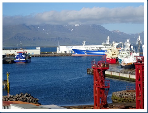
Reykjavik, Iceland: Our hotel was in an excellent location right at the Marina. I enjoyed watching the marina activity from my balcony. It was fun to celebrate my birthday in Reykjavik! Thank you Margret for the party complete with balloons and a gift.



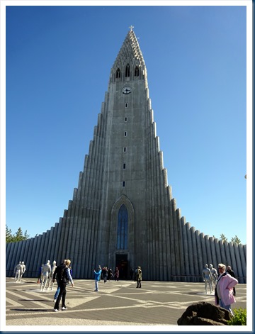
Hallgrimskirkja Church: It’s visible from almost any point in the city. It was completed in 1986 and took almost 40 years to build. The pipe organ at the back of the church weighs over 25 tons. In front of the church is a statue of Icelandic Viking Leif Erikson. He was the first European to set foot on the North American continent around 1,000 AD.


Birthday: My birthday happy hour and dinner with friends.
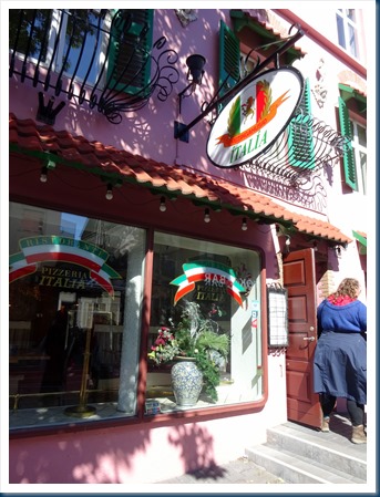

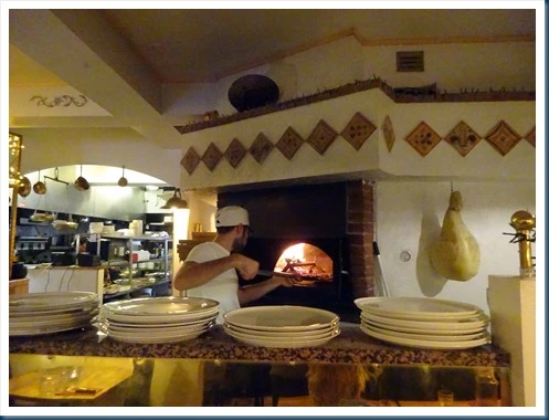

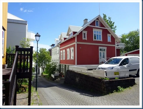
Walking around in Reykjavik:




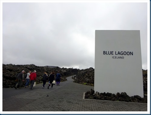
The Blue Lagoon: It is comprised of 70% sea water, 30% fresh water and maintained at a steady 100 degrees. It is rich in blue-green algae, mineral salts and silica mud. It was located about an hour away of Reykjavik. Our happy little group had fun playing in the water.


Food in Iceland: I can’t complete this travel blog of Iceland without showing some of the good food that we experienced while in Iceland.
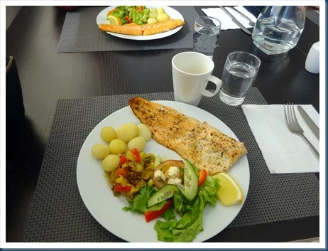
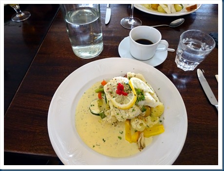
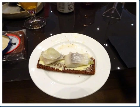

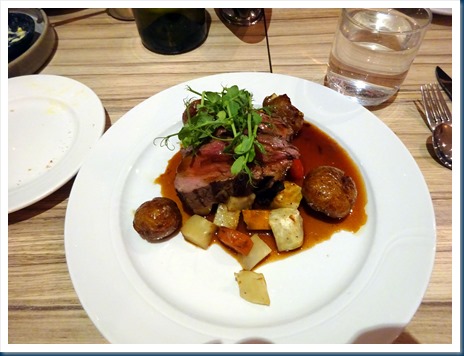


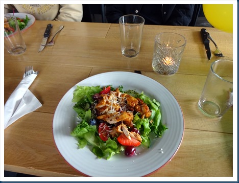
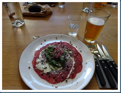
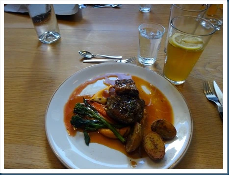
Sure was fun! Thank you Overseas Adventure Travel and Margret!
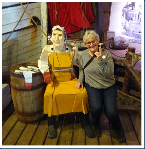
“Life is what you make it.”
Keep on traveling!
Crossroads of the Adriatic: Croatia, Montenegro, Bosnia & Herzegovina and Slovenia
with Overseas Adventure Travel
Mar. 4 – 22, 2022
Croatia: Dubrovnik; Montenegro: Kotor; Bosnia & Herzegovina: Mostar, Sarajevo, Kotromanicevo; Croatia: Karanac, Zagreb, Mirogoj Cemetery, Kumrovec, Plitvice Lakes, Opatija, Motovun, Truffle hunt and Hum; Slovenia: Postojnska Caves, Ljubljana, and Lake Bled.

This is our happy group of OAT adventure travelers. I went on this trip not knowing anyone and gained new friends. These travelers were the kindest, most welcoming group I have ever been with.

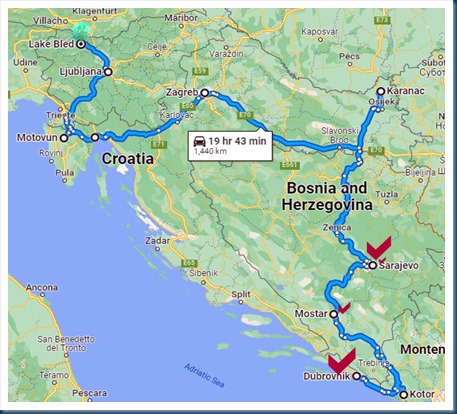
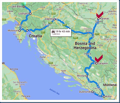
I am including a google map that I prepared. This map shows the destinations of our trip, with the red check marks indicating where we stayed at hotels. Our adventure began with 4 nights in Dubrovnik, Croatia. From there we spent 3 nights in Sarajevo, Bosnia & Herzegovina, 1 night in Karanac, Croatia, then 3 nights in Zagreb, Croatia. Then we headed toward the Adriatic Sea and spent 2 nights in Opatija, Croatia, then on to Ljubljana, Slovenia where we spent the last 3 nights. It was wonderful traveling with our group of 12 especially after all the Covid19 ordeal. It all went well because one has to be vaccinated to travel with OAT, you could not enter the countries we visited without being vaccinated and we had to have a negative coved test to re-enter the United States.
Marina was a grand Tour Experience Leader. It seemed she knew all the ins and outs of everything. Her knowledge of the history of the entire area was tremendous and her various presentations we very interesting. Everything was always completely organized and in addition to all of this she is a very kind and caring person. Thank you Marina for our outstanding trip experience.

 Save Money
 : If you decide you’d like to go on this or any Overseas Adventure or Grand Circle Travel trip, and you are a first time traveler with them, they will give you each $100 off any trip. All you have to do is mention the name of my travel blog and #000561413. New travelers instantly receive $100 off the cost of the trip, and I will receive $100 when you depart on your trip. Check out all the adventures and the covid19 info on www.oattravel.com
And thus, our Crossroads of the Adriatic trip begins.
Dubrovnik, Croatia: My favorite ancient walled city in the world, of which I’ve had the privilege to visit more than once. The old city of Dubrovnik is located on the Adriatic Sea and is encircled with massive stone walls completed in the 16th century. It was a fortress city that served as the base for a fleet of ships that carried trade between much of Europe and the Middle East during the years from 1358 to 1808. Despite the heavy damage sustained during the breakup of Yugoslavia in the early 1990’s the city has regained its former splendor.


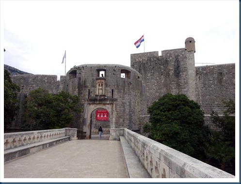
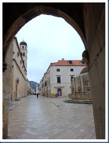
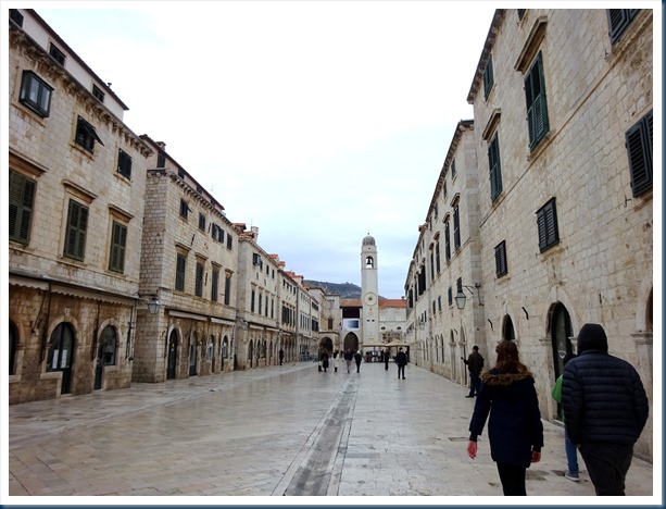

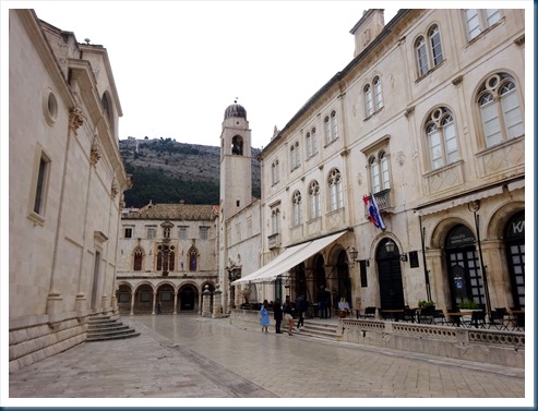


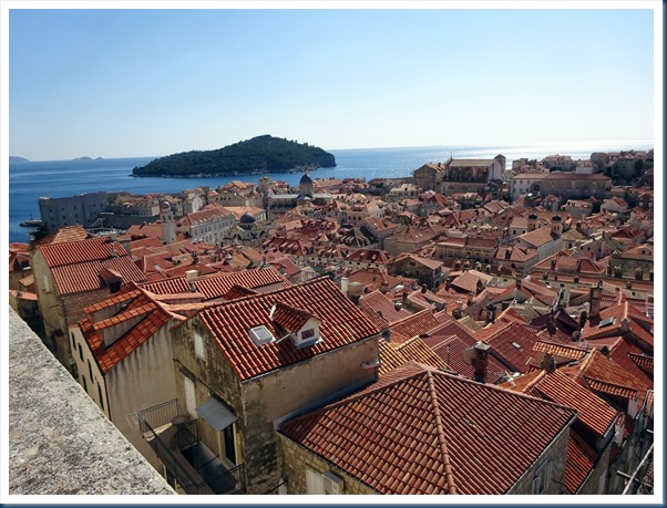
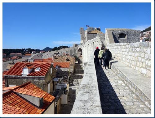
Ancient Walls of Dubrovnik: We walked along most of the city’s ancient ramparts (a little over a mile in length) and enjoyed views of the rooftops of Old Town and the Adriatic Sea.

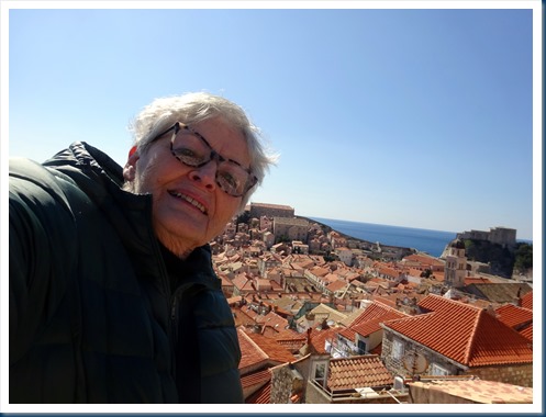
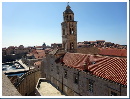


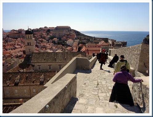
Headed to Kotor, Montenegro: We crossed the border from Croatia to Montenegro and it was a beautiful drive. We stopped along the Bay of Kotor and boarded a small boat to take us on into Kotor.


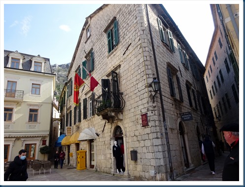
Kotor, Montenegro: Kotor happens to be another one of my favorite towns. It is truly a picturesque walled city, with one of the largest and best-preserved medieval areas of the Adriatic region. The town of about 3,000 is butted up against a steep cliff, and watched over by an imposing town wall. Kotor has survived centuries of invaders by its imposing town wall, which scrambles in a zigzag line up the mountain behind it. Many years ago Jim hiked to the top of the city wall, Karree did the same a few years ago, I went a little ways but was to scared to continue.


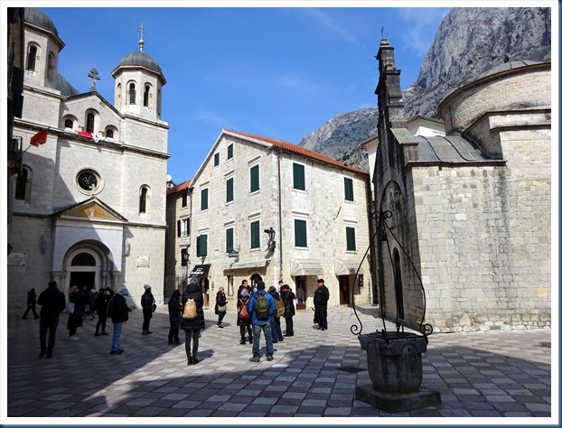


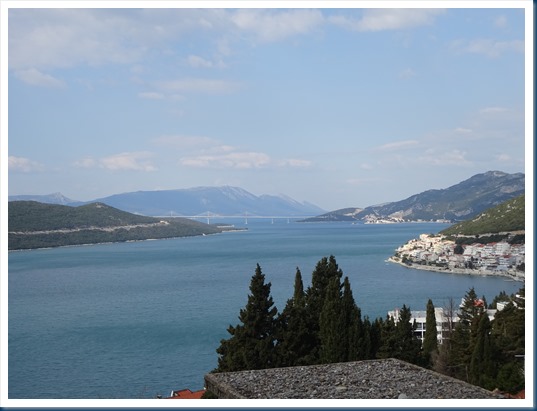
We transferred from Dubrovnik, Croatia to Sarajevo, Bosnia & Herzegovina: First we saw pretty scenery along the Adriatic, then countryside living. At about halfway of our journey we stopped at Mostar, Bosnia & Herzegovina.


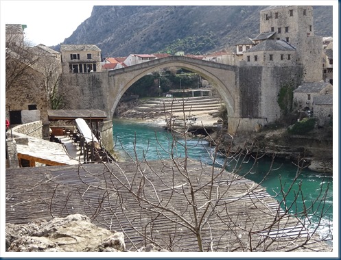
Mostar, Bosnia & Herzegovina: Mostar is famous for this bridge. The city is named for the watchtowers of its historic bridge. The bridge spans the Neretva River, which divides the town into Muslim and Croat sections and was built in the 16th century. The original structure was destroyed by a bomb during the Bosnian conflict in 1993, and UNESCO helped fund its rebuilding to look just like the original.



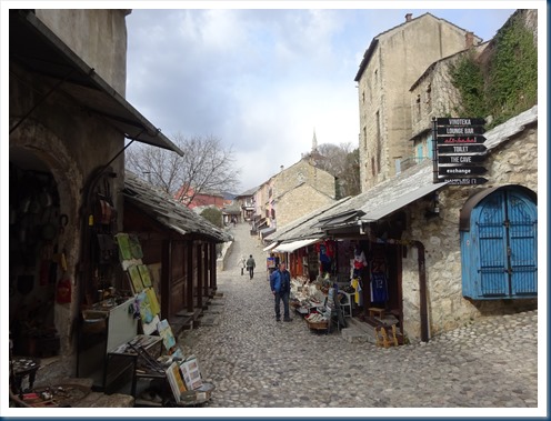

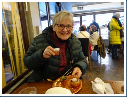
Bosnian Coffee: We were introduced to the typical coffee of this area of the world and I rather liked it. We also now know the proper way to prepare it to drink. Oh yes, we had a very good lunch also.
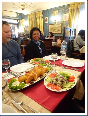


Our drive from Mostar to Sarajevo, Bosnia & Herzegovina: There were some really pretty sites as we drove about 2.5 hours on to Sarajevo.


Sarajevo, Bosnia & Herzegovina: Founded by the Ottomans in the 15th century, Sarajevo was multicultural with Muslims, Serbs, Croats, Turks and Jews for hundreds of years. After hosting the 1984 Olympics, Sarajevo descended into chaos during the Yugoslav wars of the early 1990’s. Bosnian Serb artillery pounded the city during a 3.5 year siege, killing more than 14,000 people in the city.
Today, Sarajevo, is the capital and cultural center of Bosnia and Herzegovina. It lies in the narrow valley of the Miljacka River at the foot of Mount Trebević. It was a very enjoyable place to visit.


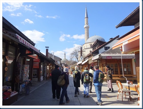

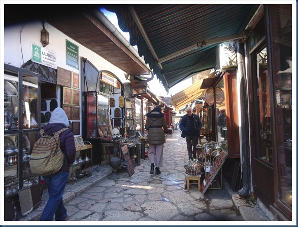

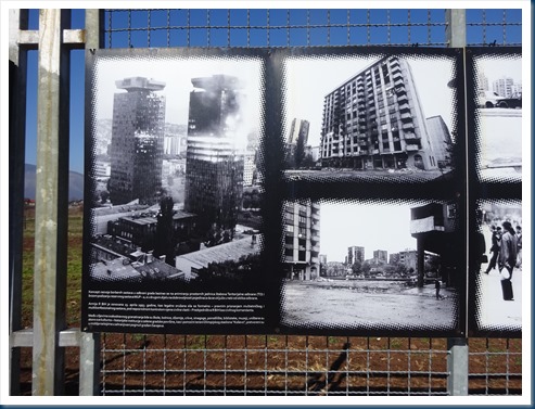
Savajevo Tunnel: The tunnel was built by the Bosnian Army in order to link the city of Sarajevo, which was entirely cut off by Serbian forces, with Bosnian-held territory on the other side of the Sarajevo Airport, an area controlled by the United Nations. It allowed food, war supplies, and humanitarian aid to come into the city, and allowing people to get out. We visited the tunnel and also heard stories from survivors about what life was like during the Bosnian Serbs barrage that resulted in the deaths of nearly 14,000 people, including almost 5,500 civilians. It was a sobering morning, especially since practically the same is now happening in Ukraine.



I was all about the Bosnian Coffee.
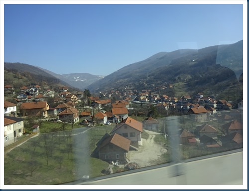
Overland: Today it was overland from Sarajevo, Bosnia & Herzegovina to Karanac, Croatia. Another border crossing, where we’d get off the bus and go to the border control window and show the officer our passport and covid vaccination card. He’d stamp it, we’d board the bus and off we’d go. It was enjoyable looking out the bus window and we also made several stops along the way.



Village of Karanac, Croatia: We enjoyed and overnight stay at a little agri-tourism farm. Our rooms located on the left in the 2nd photo were very pleasant and complete with private bathroom. We learned to make cheese that ate it for part of our breakfast the next morning.


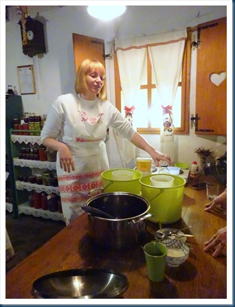
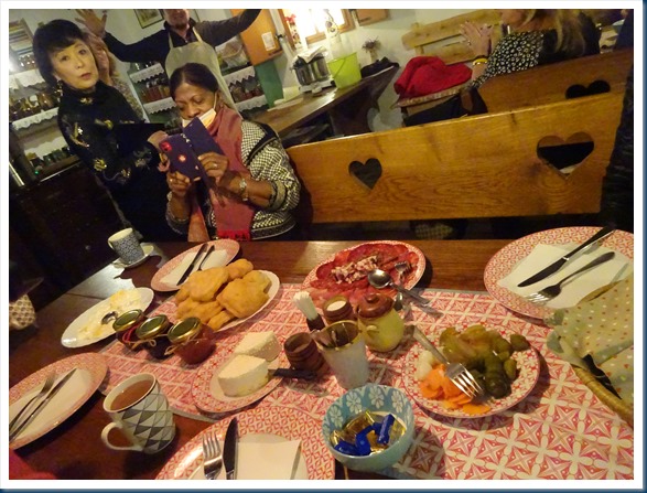
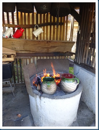
Our “day in the life” in the Croatian village continued the next morning. We helped prepare breakfast, ate the cheese we made the night before, made bean goulash that was cooked on an outside fire (delicious) and watched pottery making.

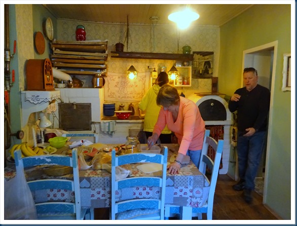

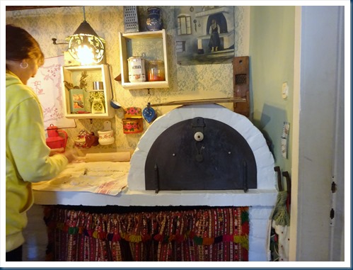



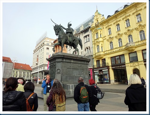
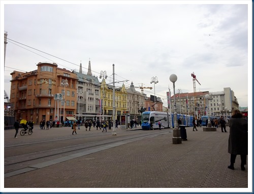
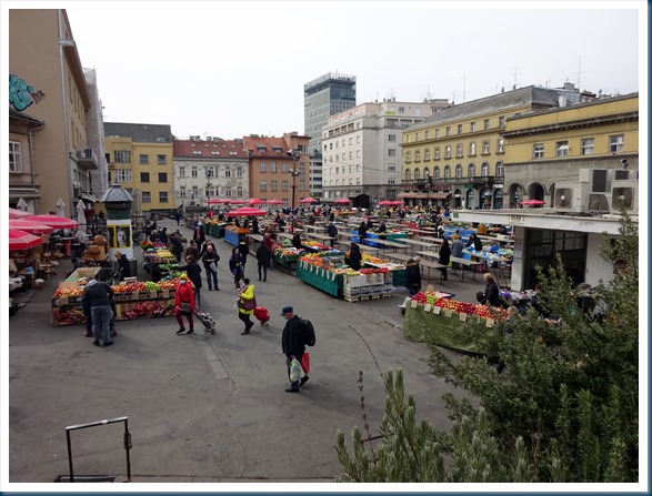
Zagreb, Croatia: From Karanac Village to Zegreb. Zagreb is the capital and most populated city in Croatia with 800,000 people. It has an upper town and a lower town. The Lower Town in the modern area, then one has the option to ride a funicular (the shortest in Europe) to view the medieval Upper Town. This is the lower town.


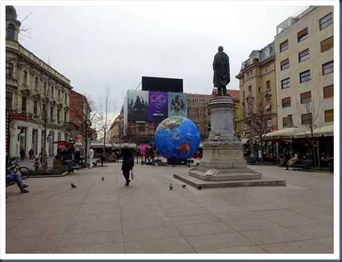
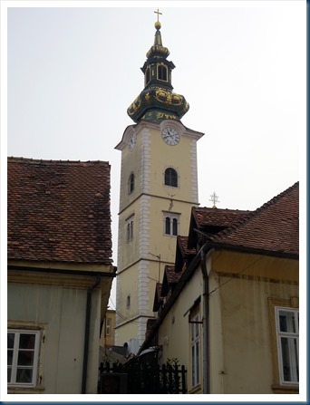
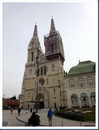
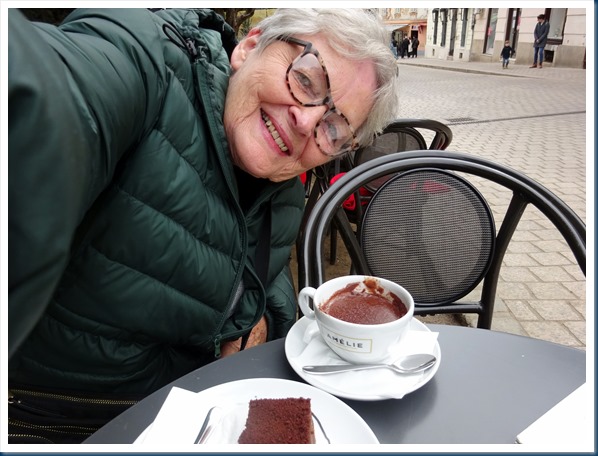
The Upper Town: We rode the funicular to the upper town. Between the 11th & 14th centuries two medieval settlements developed here. And…..my fabulous find! Several years ago Jim & I had the most delicious and the thickest EVER hot chocolate. Marina helped me find it again! And to go with it I had a piece of double chocolate cake.


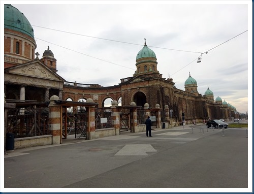
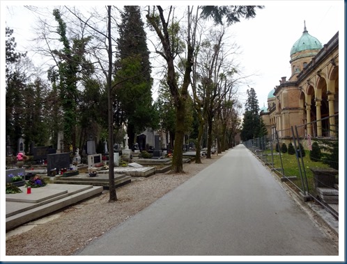
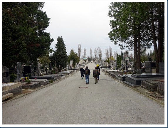
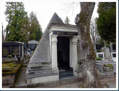
Mirogoj Cemetery: We went with Marina on the city bus to Mirogoj, which is a cemetery of cupolas, domes, arcades and elaborate tombs all within a carefully manicured park. It’s Croatia’s most majestic cemetery and is listed as one of the most significant cemeteries in Europe.


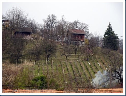
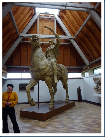
Rural Countryside near Zagreb: We drove north seeing rolling hills, winding roads and vineyards. We first went to Klanjec, which is the birthplace of renowned Croatian sculptor Antun Augustincic. He created the Peace monument that stands in front of the United Nations building in New York City. The third photo below is the replica that we saw in the museum. The entire museum houses only his artwork.

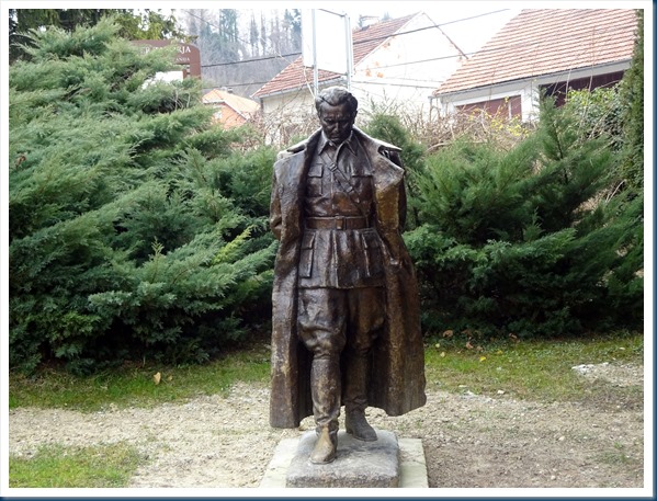
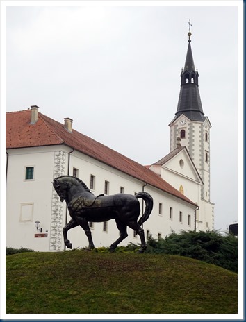
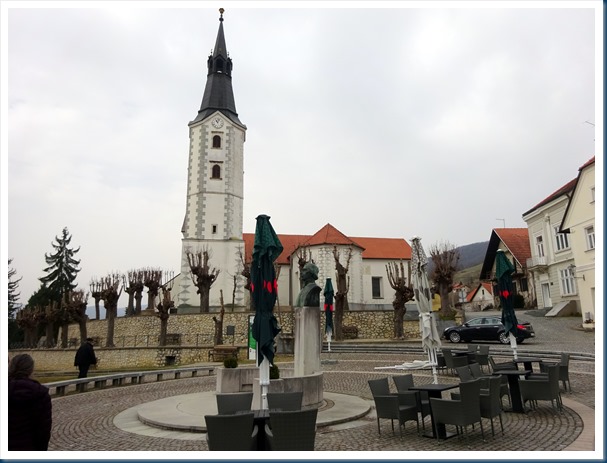
Kumrovec Open Air Museum: I always enjoy this type of museum. It featured the traditional ways of life a century ago. This village is renowned as the birthplace of Marshal Tito, president of the former Yugoslavia. The 2nd and 3rd photo are Marshal Tito’s childhood home.
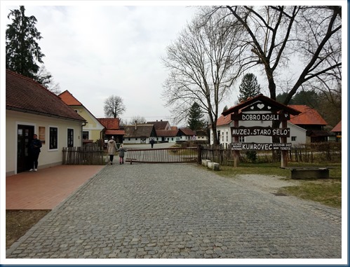


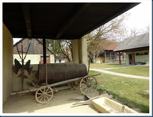

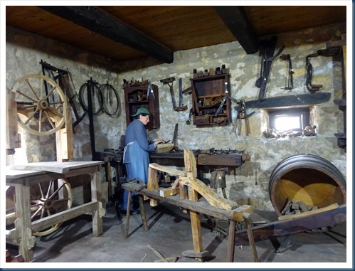

Countryside Lunch: More beautiful scenery out the bus window and lunch at a quaint restaurant on top of a hill overlooking a castle. And..…the pet rooster.


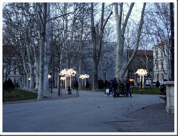
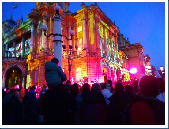
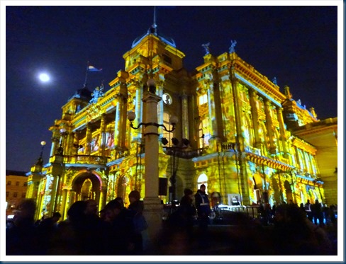
Festival of Lights: Back in the city of Zagreb that evening it was “Festival of Lights.” We strolled with Marina and loved seeing all the lights, entertainment and merriment!



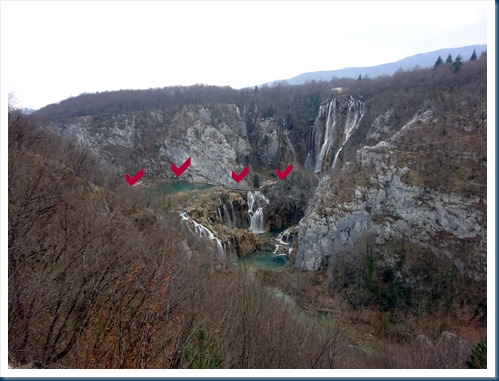
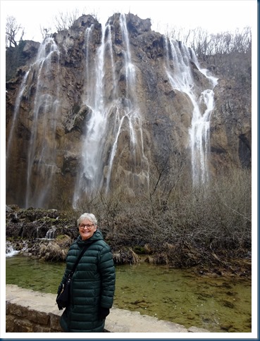
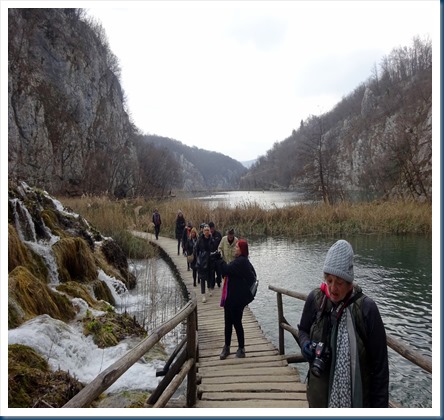
Plitvice Lakes, Croatia: The Plitvice Lakes is a 114 square mile national park that has at its heart, 16 turquoise lakes linked by a series of wooden footbridges, waterfalls and cascades. It is a UNESCO world heritage site. We did a 2.5 hour walking tour of this beautiful national park. The first three photos are looking down into the park. The 3rd photo with red arrows shows our hike into the big waterfall, and the 4th is a closer shot showing the wooden footbridges that we walked on to get to the big waterfalls. Number 5 photo shows the beginning of our hike down the mountain towards the water.




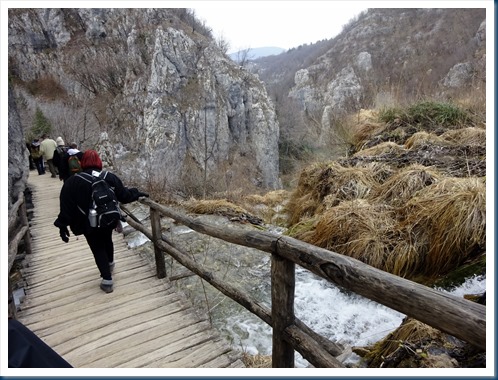
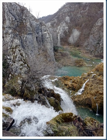
Leaving the big waterfalls we continue our glorious hike in the Plitvice National Park. The last 3 photos is looking down at the extensive amount of wooden footbridges all along the water.


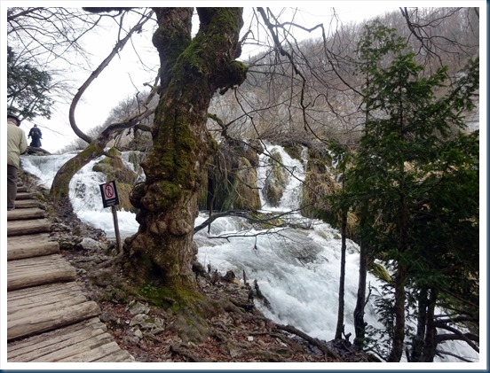
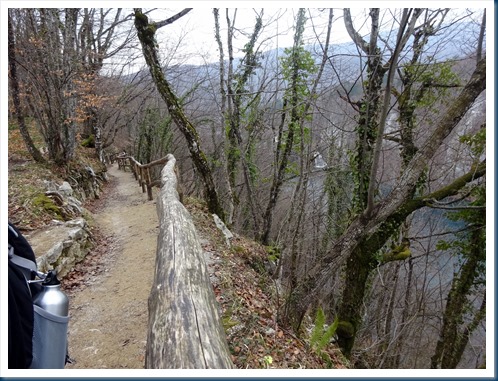
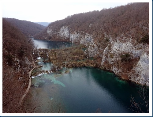
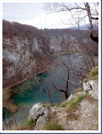

Opatija, Croatia: It’s s seaside resort town located on the Adriatic Sea. In 2005 Jim & I walked the entire 7 miles of their seaside promenade. I walked a little bit of it for old-times sake.


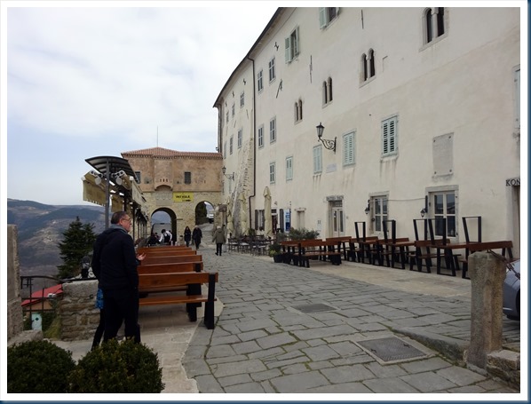
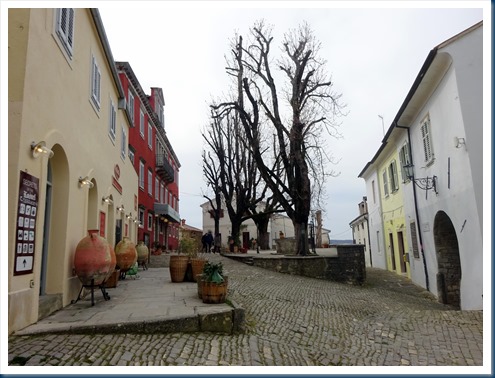
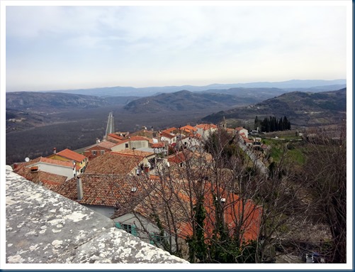
Motovun, Croatia: From Opatija we explored some hill towns of Istria. Our first stop was Motovun. It’s one of the regions 136 medieval hill towns. And as indicated it was on the tip-top of a hill. The population of the village is approximately 500. We walked all around the village and also on top of the ancient town wall surrounding the village.





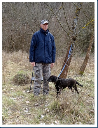
Truffle Hunting: We met up with a truffle hunter and his dog for a demonstration of how these expensive morsels are gathered. The dog has learned the scent of truffles, the dogs digs them up and the hunter quickly gathers them.


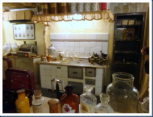
Hum, Croatia: It is considered by many as the smallest village in the world. It has a population of 20-30 people. It’s old because the freestanding church tower in the first picture was built in 1552 as a fortified tower. We had a nice lunch at the only restaurant in town and also visited a little museum of things-gone-by-in the town. The tiny village was a neat experience.




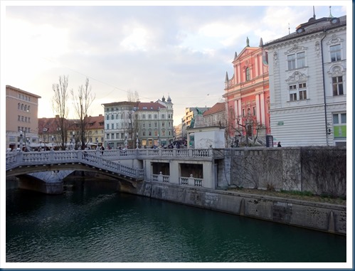
Ljubljana, Slovenia: It’s the capital and largest city of Slovenia. Ljubljana Castle was built in the 12th century and it overlooks the town. The Ljubljana River runs through the town and many bridges span that river in the city. There are lots of pretty buildings, monuments, and bridges in the town. It is a lovely city.



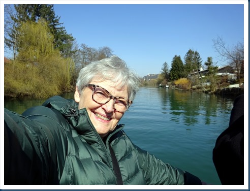
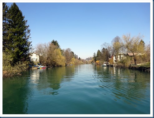
Cruise of the Ljubljanica River: We boarded a private boat and the way we went for a different view of Ljubljana. We cruised the suburbs then back into town and cruised under some of the bridges we’d been walking over.


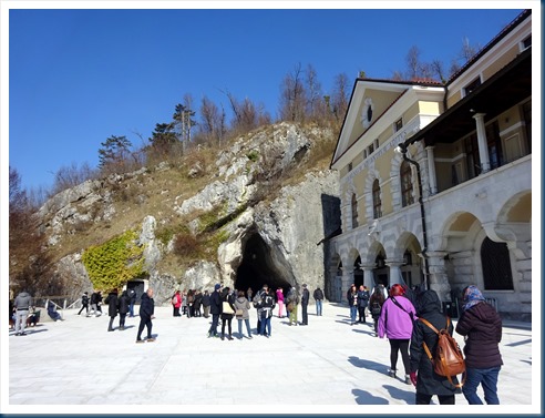
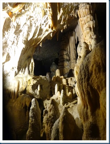
Postojnska Cave, Slovenia: It is the 2nd largest karst cave system in the world that is open to visitors. First, the 140 years old cave rail takes you over 2 miles through the underground landscape, and from there you walk seeing more and more of the fabulous underground attractions. Eventually we arrived back to the train to exit the cave. It is the biggest & best cave I’ve ever been in.


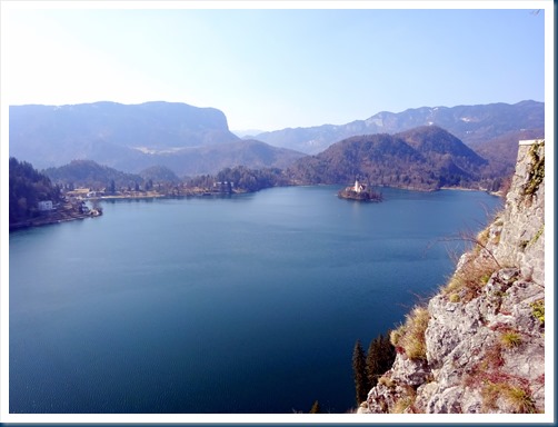
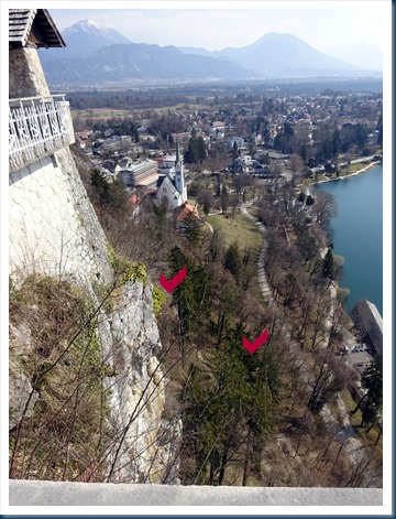
Lake Bled, Slovenia: We drove to Lake Bled. It features a 17th century church perched on a little island in the middle of the lake and an 800 year old castle clinging to a rocky cliff, against a backdrop of the Julian Alps. This is the place with the story I’ve told many times. In 2010 Jim & I were at Lake Bled in the snow. We decided to hike up to the castle, I asked a guy that hardly spoke English the directions where the trail was. He “not today” and it didn’t dawn on us what he meant until we were too far up the hill and realized it was a bit dangerous. It seemed less dangerous to continue going up than trying to go down. We made it! As I looked down from the castle I could see a bit of the trail (photo #2). I often think of “not today” and it always causes me to laugh.
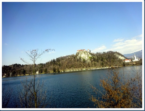
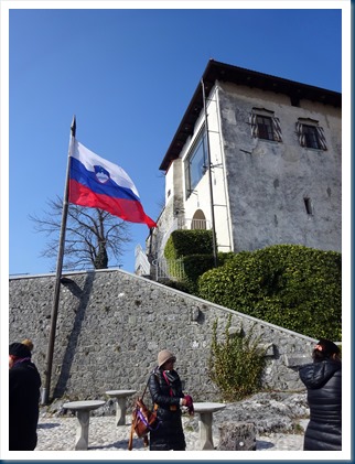
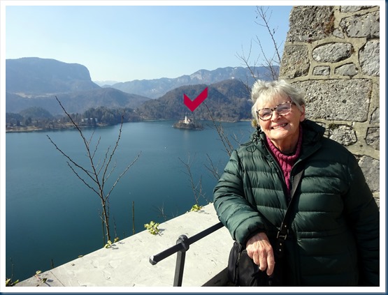
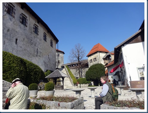
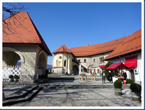
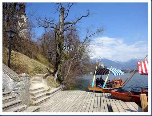
Lake Bled, Slovenia: The Church of the Mother of God on the Lake, stands on little Bled Island in the middle of Lake Bled. The church was built in its current form near the end of the 17th century. There is a stairway from 1655 with 99 steps leading up from the water edge. To get to island you pay to go on a Pletna Boat which is the Slovenian version of a Venetian gondola boat, with guy standing at the back paddling.


Sure was fun! Thank you Marina and Overseas Adventure Travel for another awesome adventure.
“Life is what you make it.”
Keep on traveling!
![]() Save Money
Save Money![]() : If you decide you’d like to go on this or any Overseas Adventure or Grand Circle Travel trip, and you are a first time traveler with them, they will give you each $100 off any trip. All you have to do is mention the name of my travel blog and my name, Marilyn. New travelers instantly receive $100 off the cost of the trip, and I will receive $100 when you depart on your trip.
: If you decide you’d like to go on this or any Overseas Adventure or Grand Circle Travel trip, and you are a first time traveler with them, they will give you each $100 off any trip. All you have to do is mention the name of my travel blog and my name, Marilyn. New travelers instantly receive $100 off the cost of the trip, and I will receive $100 when you depart on your trip. 


