Road Trip, 9 National Parks & a Wedding
Road Trip, 9 National Parks & a Wedding
4,944 miles RT to CA and the SW
Oct. 1 – 15, 2012

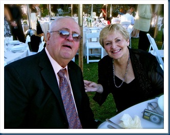
Since we had a family wedding in the Napa Valley area we decided that was excuse enough to take a leisurely road trip and take in a bunch of National Parks and other places of interest that we wanted to see.
Our trip highlights besides the wedding: The Great Salt Lake, Lake Tahoe, Napa Valley & Sonoma County, Driving on Highway 1 along the Pacific Coast, Armstrong Redwood State Park, Kings Canyon, Sequoia Nat. Park, Death Valley, Zion, Bryce, Grand Staircase/Escalante, Capitol Reef, Arches, Canyon De Chelly, and Taos N.M. A great deal of our route was planned using “National Geographic Guide to Scenic Highways & Byways.” I highly recommended this book!
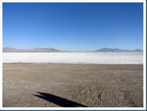
The Great Salt Lake, Utah: Located in the northern part of Utah, it is the largest salt water lake in the western hemisphere. The lake is about 75 miles long and 35 miles wide. It’s salty because it doesn’t have an outlet. The water evaporates leaving salt behind. The Bonneville Salt Flats is the largest of many salt flats located in the Great Salt Lake and is known for its land speed records at the “Bonneville Speedway.”


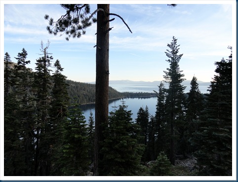
Lake Tahoe, California: Located along the border between California and Nevada, it’s the largest Alpine lake in the North America. Its depth is 1,645 ft. making it the USA’s second-deepest, (the deepest is Crater Lake in Oregon). We stayed in South Lake Tahoe and had time to enjoy strolling around and seeing the sights.



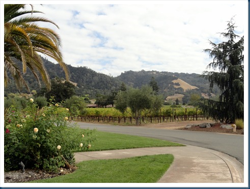
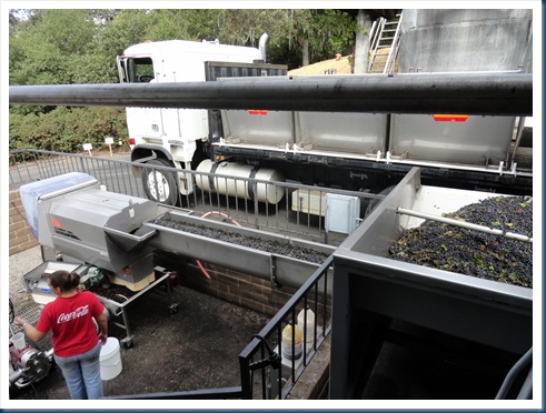
Sonoma County California: Our family wedding was in Sonoma county and we stayed in Healdsburg for three nights. During that time we got to see lots of the area as well as take in all the wedding festivities. Sonoma county is one of California’s largest producers of wine grapes. It was harvest time so we even got to watch as grapes were unloaded at one vineyard and saw the beginning of the process of wine making.




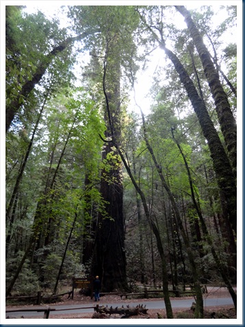
Armstrong Redwoods State Natural Reserve, California: It’s located in Sonoma county and it’s an 805 acre State Park of coast redwood trees. The Parsons Jones tree is the tallest at 310 feet. The Colonel Armstrong tree is the oldest, estimated to be over 1400 years old.

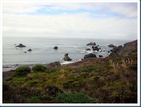
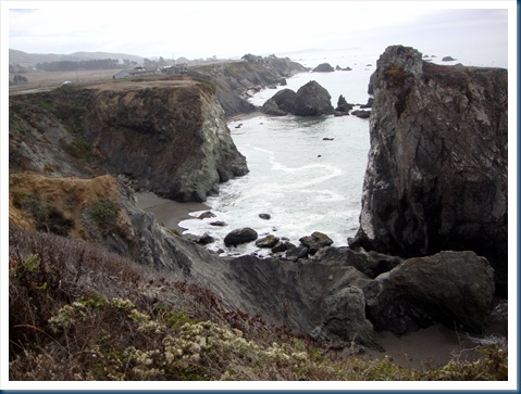
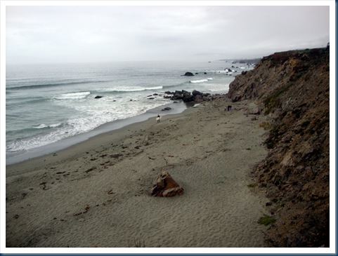
Highway 1, Along the Coast: Since we were staying in Healdsburg CA, we decided to take a look along the coast, via highway 1. The google map indicates it’s just 38 miles from Bodega Bay (south) to Stewarts Point (north),but we were out most of the day. We stopped at lots of State Beach areas and enjoyed the scenery. There was dramatic scenery along the coast drive. We cut back across towards Healdsburg on a tiny mountain road at Stewarts Point.

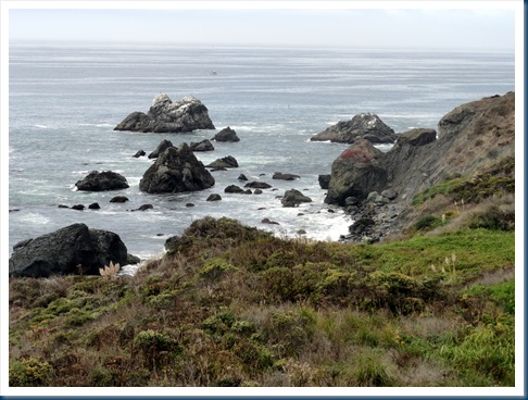


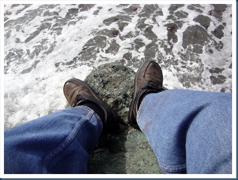
Jim found a rock to sit on so he could listen to the waves crashing into the rocks and to see if he’d get washed away!
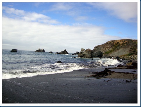


Time for a seafood lunch at a restaurant overlooking the sea at Bodega Bay.


Continuing northward along the rugged coast drive.

We turned off Highway 1 at Stewarts Point unto a tiny road across the mountains. As per the Road Atlas map it was shown as being an “other” road. We didn’t see a soul for a very long time.

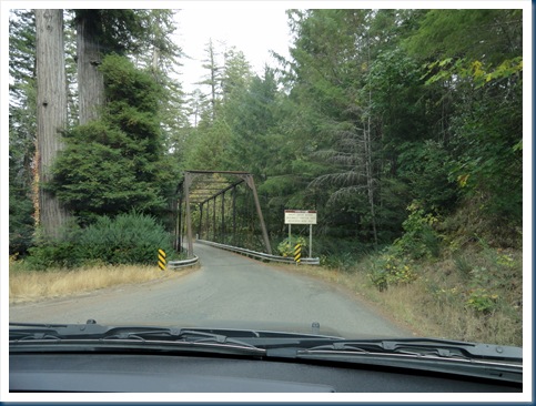
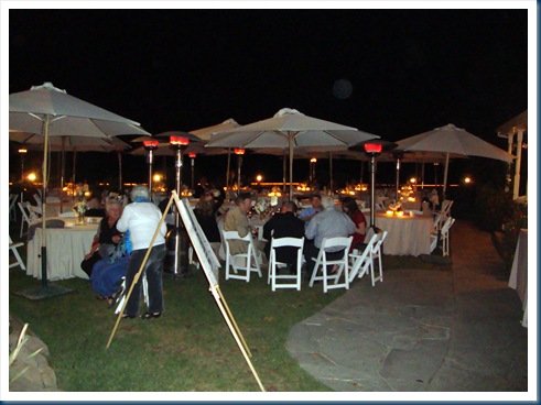
Wedding: We had the privilege of attending a beautiful family wedding at a Winery in Sonoma County.


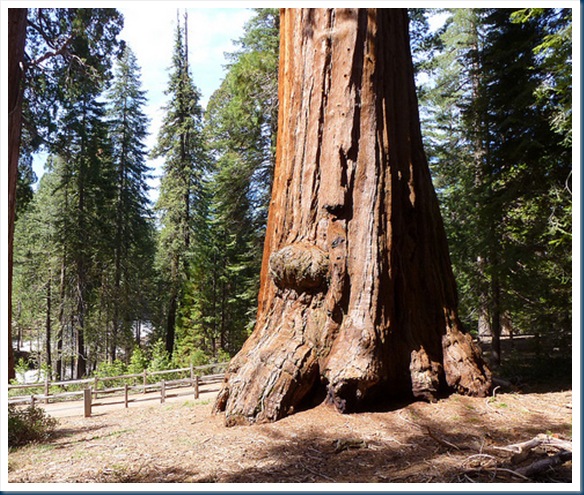
Kings Canyon National Park: Located in the southern Sierra Nevada, east of Fresno CA, it was established in 1940 and contains 461,901 acres. We visited the General Grant Grove, with the famous Grant Tree and Redwood Mountain Grove which is the largest remaining natural grove of giant sequoias in the world.


The General Grant Tree is the 2nd largest living thing on earth. It stands 267 feet tall, and it isn’t even conceivable with a photo to see how big it really is without a bunch of people standing in front of it. It is estimated to be about 1,650 years old.

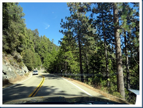
Sequoia National Park: It is directly south of Kings Canyon National Park. It was established in 1890 and spans 404,063 acres. The park is famous for its giant sequoia trees, including the General Sherman, the largest tree (byvolume) on Earth. The General Sherman tree grows in the Giant Forest, which contains five out of the ten largest trees in the world. We did the entire route of the Generals Highway from north to south through the park, it is notoriously steep, narrow, winding, and can be difficult to drive. Loved driving through the forest!
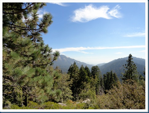


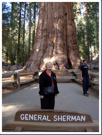
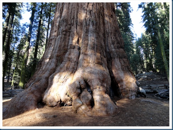
General Sherman Tree: The General Sherman is a giant sequoia tree located in the Giant Forest of Sequoia National Park in Tulare County, California. By volume it is the largest known living tree on earth. It has an estimated age of 2,300 to 2,700 years. It was a glorious sight to behold, absolutely majestic!
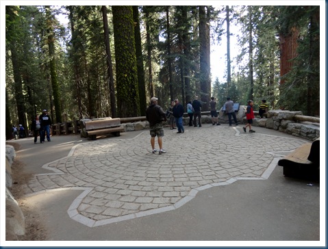
In the photo below the inset rock area on the concrete pad shows how big the base of the tree actually is. It is an excellent way to get a concept of the massive size of the General Sherman Tree.



Driving from Sequoia National Park to Death Valley: After the drive though Kings Canyon & Sequoia we stayed at Three Rivers, CA. Then we headed in a southerly direction and cut across on “other” highway 155. As per our Rand McNally, we drove on “other” roads, and “other through highways” for much of the time. It was a very pretty drive across quite mountain roads. There was little traffic and we could enjoy the scenery.


Highway 155 hooked up with 178 which took us across “Walker Pass”. Aside from the paved road, the pass is essentially unaltered since Joseph Rutherford Walker mapped it in 1834. Walker returned through the pass in 1843, leading an immigrant wagon train into California. The pass provides a route between the San Joaquin Valley on the west and the Mojave Desert on the east.


Death Valley: Is within the Mojave Desert, and it is the lowest and driest area in North America. Death Valley holds the record for the highest reliably reported temperature in the world, 134 °F at Furnace Creek on July 10, 1913. Jim & I have always thought it would be fun to see Death Valley, but not during the summer. I will tell you that October was a perfect time to be there. It got up to 98 degrees during the day, but was really cool that night. After always hearing about Death Valley it was fun to actually see it and stay there that night.
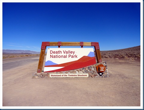
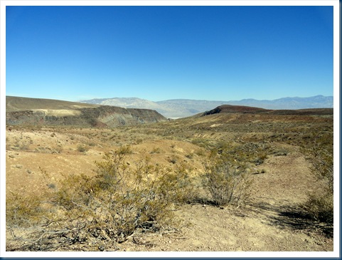

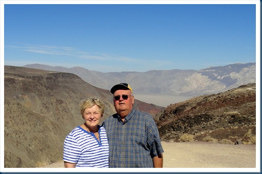


I had reservations at a nice motel at Stovepipe Wells. Not a whole lot of choice in Death Valley, but the place was nice because it had a saloon with good food, a little store, and a gas station. The morning we left the gas was $6.05 a gallon (we didn’t need any.) On the other side of Death Valley is was $6.49.

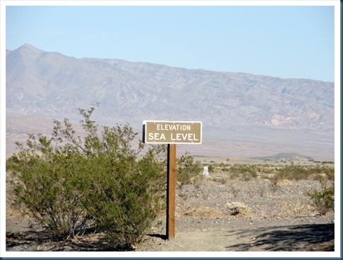
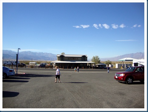
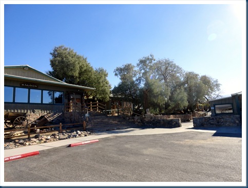
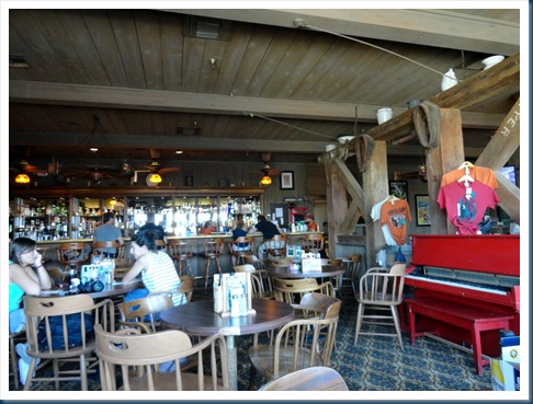

Mesquite Flat Sand Dunes: Located just a few miles from Stovepipe Wells are the tawny dunes rising nearly 100 feet upwards from Mesquite Flat. We went to the Dunes at sunset.


Twenty-mule teams: Were teams of eighteen mules and two horses attached to large wagons that ferried borax out of Death Valley from 1883 to 1889. They traveled from mines across the Mojave Desert to the nearest railroad spur, 165 miles away in Mojave, California.


Zabriskie Point: Is a part of Amargosa Range located in Death Valley National Park noted for its erosional landscape. It is composed of sediments from Furnace Creek Lake, which dried up 5 million years ago.


Zion National Park: Located in southwestern Utah, Zion has some of the most scenic canyon country in the United States, and it is one of our favorite parks. Within its 229 square miles are high plateaus, a maze of narrow, deep, sandstone canyons, and the Virgin River and its tributaries. Zion Canyon scenic drive through the narrow canyon is open to shuttle buses only. The park service provides free shuttle service, with included narrative. It was late in the afternoon and the shadows about took over the pictures.

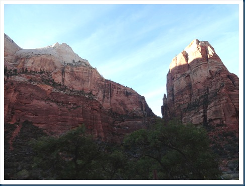
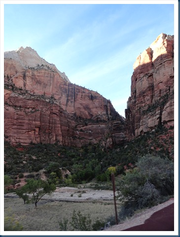

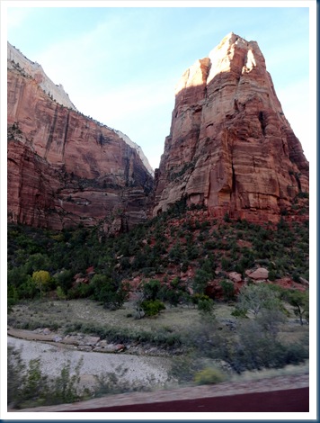
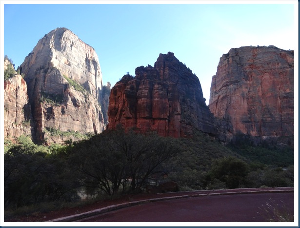
After doing the Canyon shuttle we continued our journey through the park exiting at the east entrance on Highway 9.


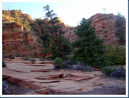

Scenic Byway 12, Utah: We traveled the entire 124 miles of this remarkable route. Around every bend in the road was another beautiful landscape of plateaus, canyons and valleys. After staying the night just outside Zion we went north on 89 and turned east on 12. We spent the all day seeing various splendid sights, and ended in Torrey where we spent the night. I copied this map from http://www.scenicbyway12.com

Red Canyon: Before arriving at Bryce National Park, Scenic Byway 12 takes you through Red Canyon.
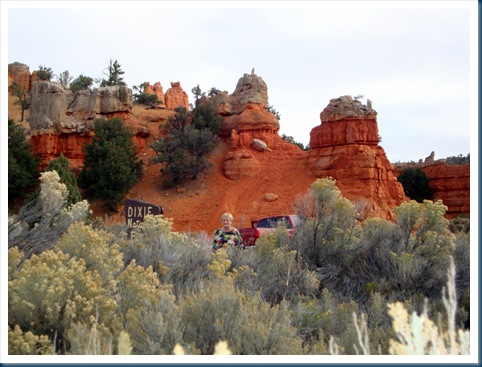

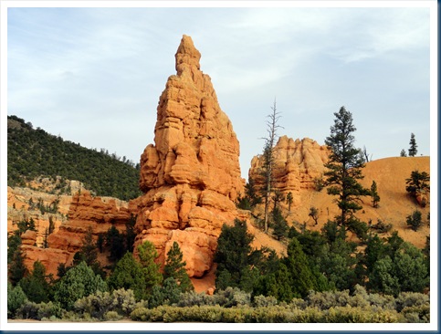
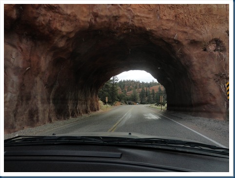
Bryce National Park: Bryce is located in southwestern Utah about 50 miles northeast of Zion. It is not a canyon but a collection of giant natural horseshoe-shaped amphitheaters carved from the eastern side of the Paunsaugunt Plateau. Bryce is distinctive due to bizarre shapes, windows, fins and spires called hoodoos, formed by frost weathering. The red, orange, and white colors of the rocks provide spectacular views as you view the splendid scenery from any of the many overlooks.

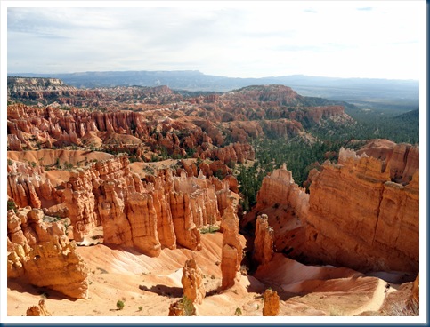
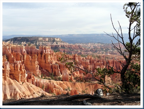
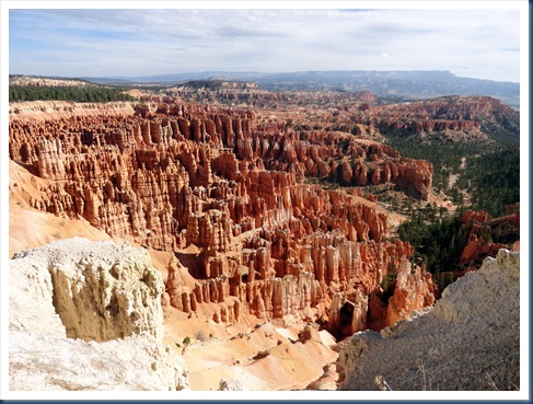

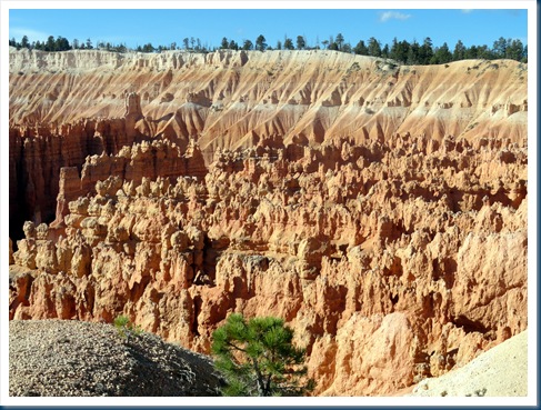

Continuing on Scenic Byway 12: This is some of the scenery between Bryce and Escalante. Most pictures on Byway 12 were taken out of the car window as we drove.

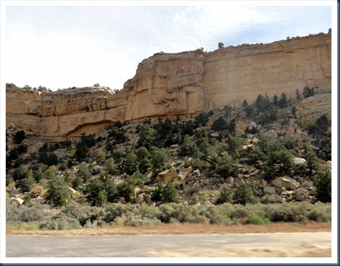


Scenic Byway 12: From Escalante to The Hogsback. The Hogsback gets its descriptive name from the narrow section of Scenic Byway 12 that winds along the ridge. Picture #4 captures the straight drop-down from my window. The other side of the road looked just the same, just like driving on the top of the spine of a hog.


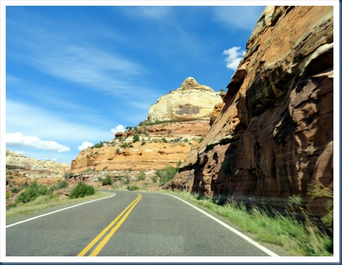

Burr Trail Road: Southeast of Boulder Town, we turned off Byway 12 onto a little road called Burr Trail Road. It turned out to be our favorite thing of the day. The byway cuts across the rugged canyon land of Grand Staircase-Escalante National Park, descending steeply down to a slot canyon called Long Canyon. We walked into the slot canyon and it was like being in a secret garden.
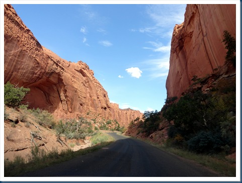


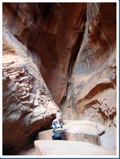


Capitol Reef National Park: Located in south-central Utah, the park is 100 miles long but fairly narrow. It is characterized by sandstone formations, cliffs and canyons, and a 100-mile long bulge in the earth’s crust called the Waterpocket Fold. Erosion has carved the rock into marvelous shapes.

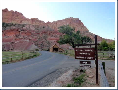
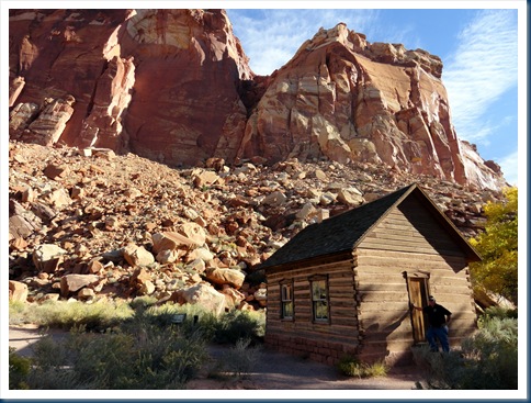
Mormons settled the Freemont River Valley in the 1880’s. The National Park Service has preserved the original the Historic Gifford Farm, Fruita School House, and the Behumin Cabin which can all be seen on highway 24 that runs through the park. Petroglyphs can be seen on the sheer cliffs near the school house were carved by people in the Freemont Culture.


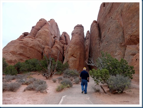
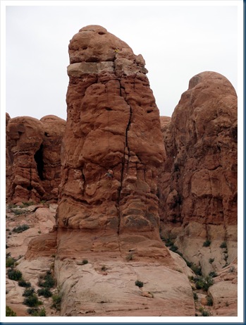
Arches National Park: The 73,000 acre park is located in eastern Utah just outside of Moab. With over 2,000 arches it contains the world’s largest concentration of natural stone arches. The National Park is a red, arid desert, punctuated with oddly eroded sandstone forms.





Canyon De Chelly National Monument, Arizona: It is located in northeastern Arizona within the boundaries of the Navajo Nation. It preserves ruins of the early indigenous tribes that lived in the area, including the Anasazi and Navajo. De Chelly consists entirely of Navajo Tribal Trust Land which remains in the ownership of the Navajo Nation and is home to the canyon community, while park matters are administered by the National Park Service. De Chelly is known for steep canyon walls dotted with greenery and ancient pueblo ruins. There are two paved rim drives, one of the north and one on the south. We drove both rims and got out and looked at all ten overlooks. It was straight down at all of the overlooks and it was so windy, I thought we’d surely get blown over the edge.
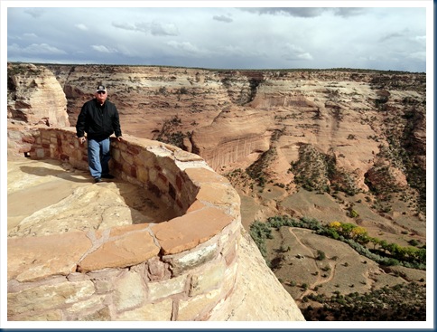

They say the Anasazi Indian dwellings were built between 350 and 1300 A.D. The picture on the left shows the dwellings located a little right of center along the sheer wall. A close-up picture is on the right.


Ancient Anasazi dwellings can be seen high on ledges on the canyon walls. The picture of the left shows the dwellings along the steep wall of the canyon (a little left of center). The close-up of the dwellings is on the right.


Taos New Mexico: Have always heard that Taos is a pretty town, so decided to stay the night there as we were homeward bound.


Headed home to good old Kansas. We left Taos on Highway 64 in a northeasterly direction. It was a pretty drive.


The panhandle of Oklahoma (left) and Western Kansas (right)
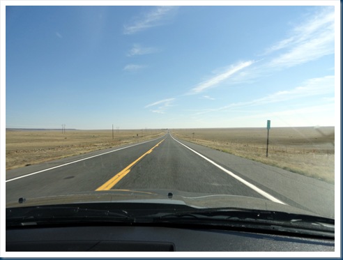

Almost home…..My favorite countryside in the world…..The Flint Hills of Kansas

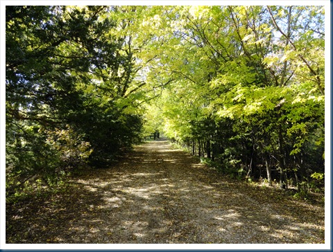
And thus our delightful 4,944.3 mile road trip is complete. Driving up the lane to our favorite place in the whole world. HOME SWEET HOME!



Just found your blog while checking out the Community forum site on OAT. We just finished our 1st OAT trip to Peru and Ecuador and then leave mid Jan for our next OAT trip which is Out of Africa for 34 days. We live in Overland Park and see that you also live in Kansas, Flint Hills? Would love to touch base with you sometime about your travels and OAT experiences. Feel free to conatct me, emal is mrsdag@aol.com. Loved your photos!!! Happy New Year – Debbie
Happy New Year to you Debbie. I assume you enjoyed your Peru & Ecuador trip with OAT. We’ve never taken a trip with OAT that we didn’t enjoy. However, I will admit we always enjoy traveling, and seldom are we disappointed. We live close to the Flint Hills, and interestingly enough our youngest son lives in Overland Park. I will email you.